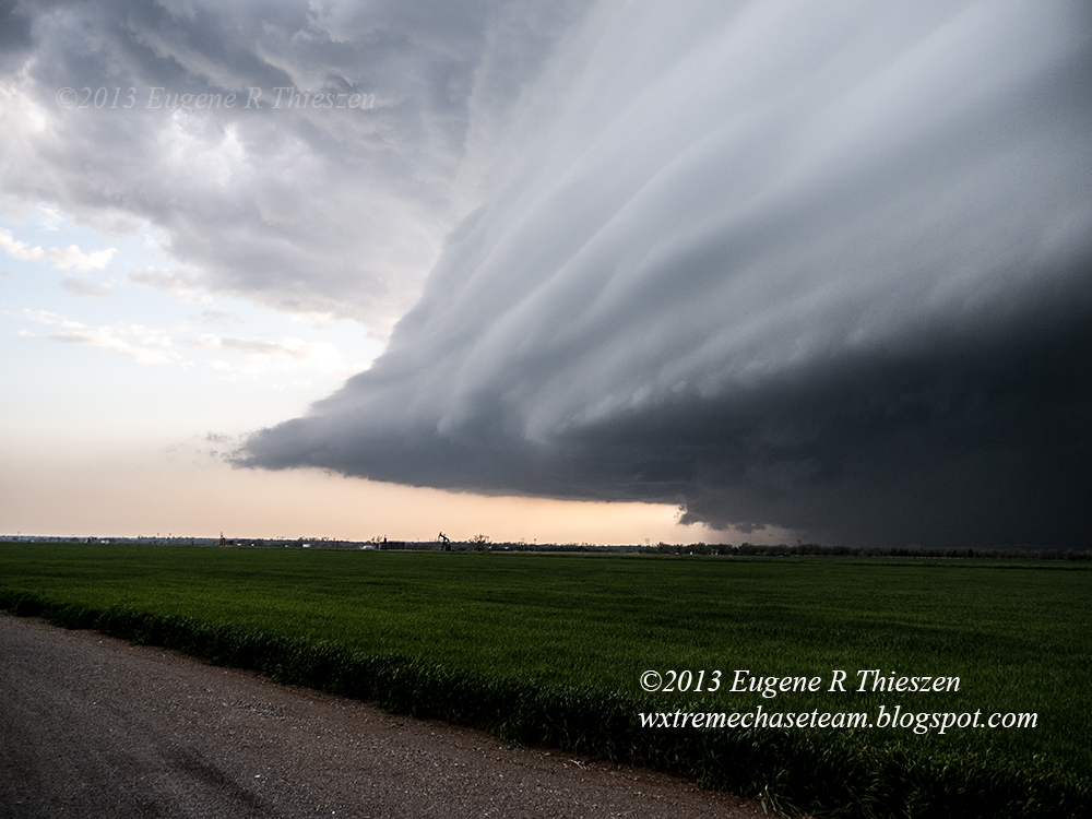
Here are several shots from the Throckmorton, TX supercell yesterday evening. The cell began to develop at a dryline - frontal intersection near Stamford and moved quickly NE toward the Throckmorton area where it made a hard right turn and went tornado warned. No tornadoes witnessed, although there may have been a funnel cloud before the warning was issued. We were a bit too far from the wall-cloud to say for sure. We did encounter some quarter-sized hail later on E of Woodson with a few golf balls and tennis balls thrown in! All three photos below were shot from a position S of Throckmorton on US 183/283.
Rather high and flat sculpted barred updraft base. 6:29 pm CDT:
Starting to organized better as the cell went tornado-warned. 6:42 pm CDT:
Rather high-based wall cloud with rising scud. 6:48 pm CDT:
Chase Data:
Team Chase - Eugene Thieszen and Walt Gish
375 Miles
No tornadoes