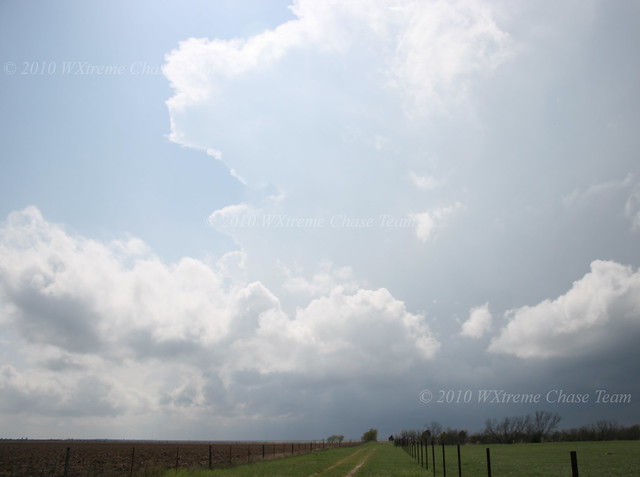
The WXtreme Chase team met up in Cordell, OK and departed around noon for the Clarendon, TX area. The day's setup looked to be a classic TX Panhandle dryline day with the Caprock in the mix. There was a secondary target further S along the Caprock in the Matador area, but at least for the middle to late part of the afternoon the northern target seemed to have better dynamics. We set up in Hedley, TX at about 3:00 pm CDT to wait for things to pop. We didn't have long to wait. By 4:15 CDT a storm had become established about 25 miles to our WSW. We moved closer toward Clarendon not wanting to commit too early since convection was developing in more than one area.
Here is a view of the first well-established storm looking WSW from along US 287 between Hedley and Clarendon:
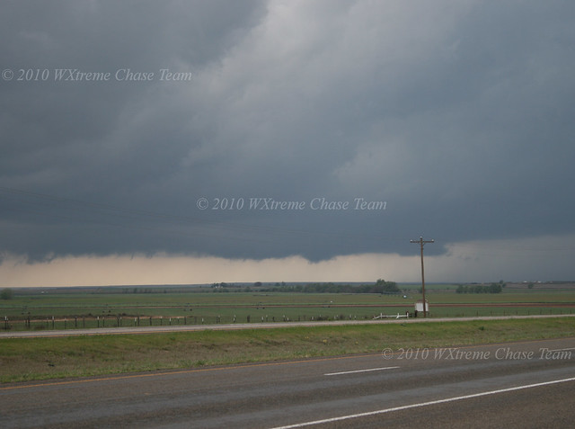
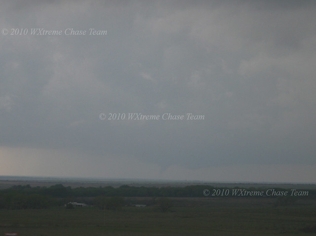
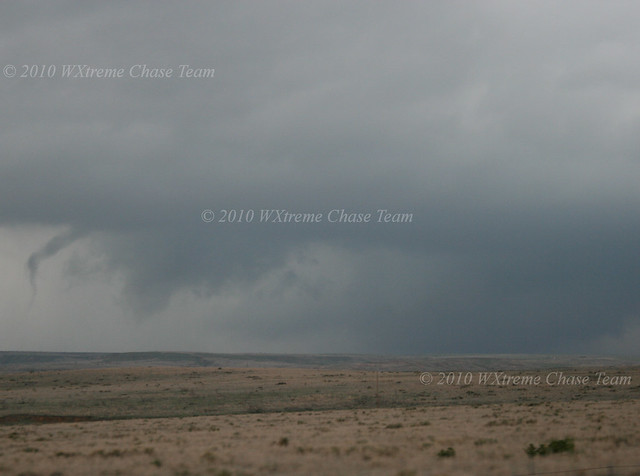
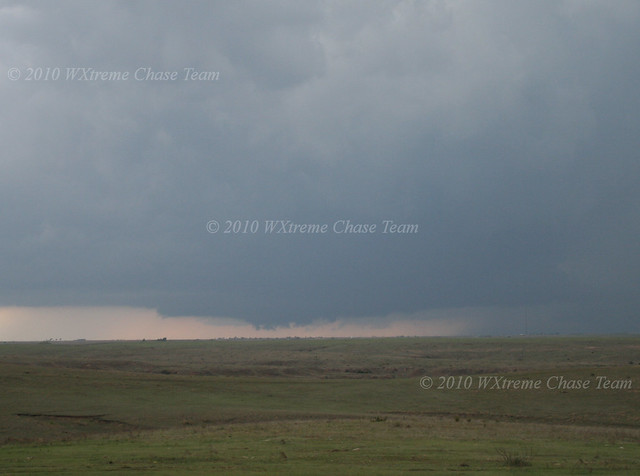
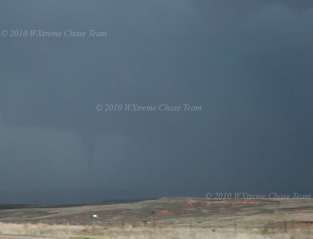
As the storm grew we moved up the road to a position WNW of Clarendon. A large lowered area was visible to our SW as the storm approached US 287. This shot is from approximately 4:45 CDT:
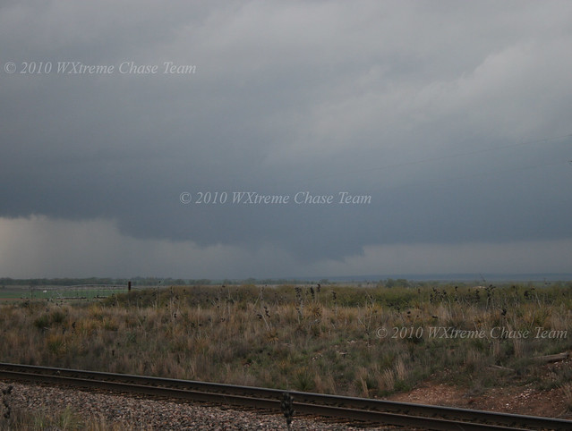
We remained in the same position until the area of interest crossed the road. This shot was taken looking NW at about 5:05 CDT:
A second storm was approaching from the SW behind the first, but we elected to follow the northern storm since it would be easier to drop back toward the southern one if the northern one failed to produce rather than to try to catch the northern one from behind. So we back-tracked to Clarendon and then drove N on SR 70 toward Howardwick and I-40.
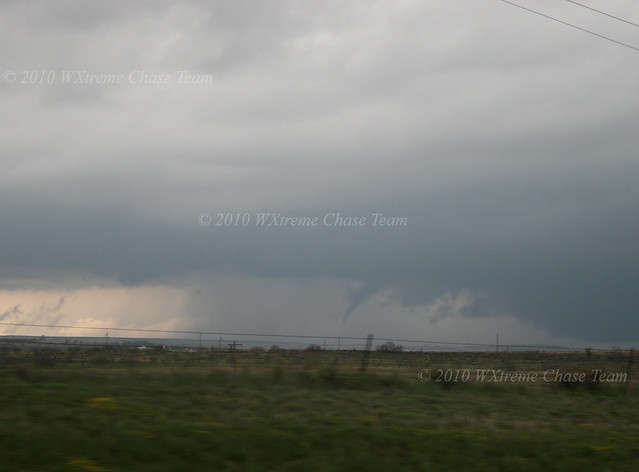
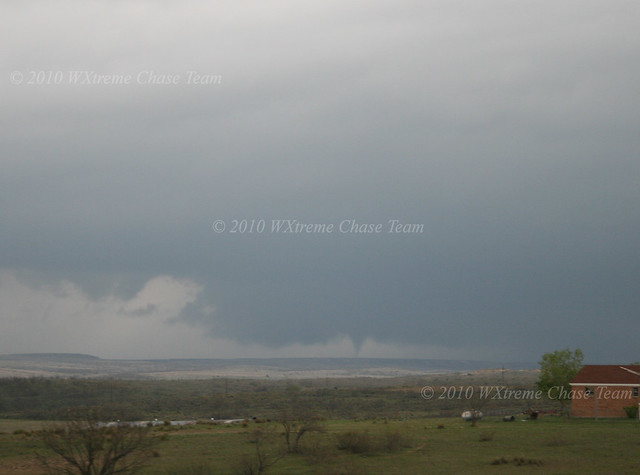
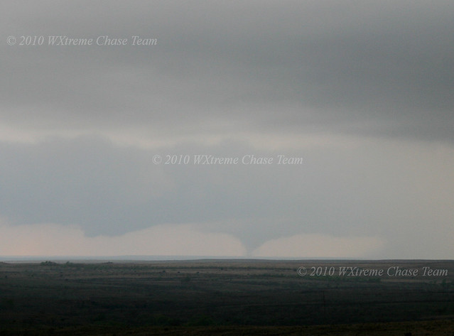
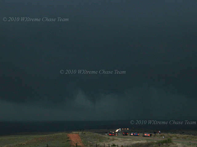
The first tornado developed between 5:15 and 5:20 CDT to our WNW:
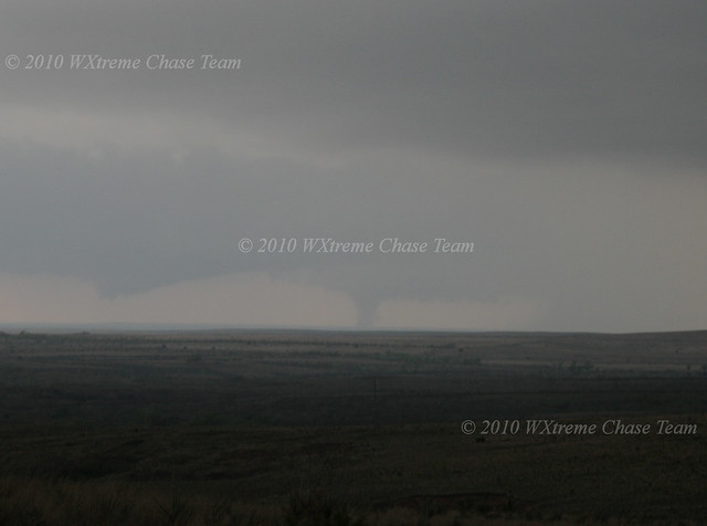
Within a few minutes a second tornado developed on the southern storm 10-15 miles to our SW. The camera time on this shot is 5:20 pm:
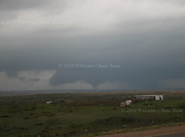
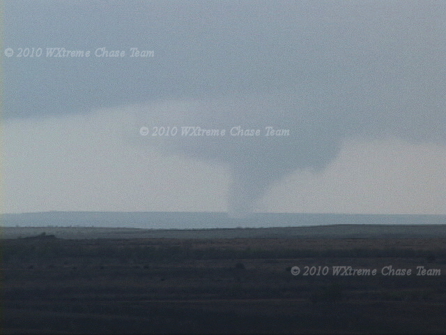
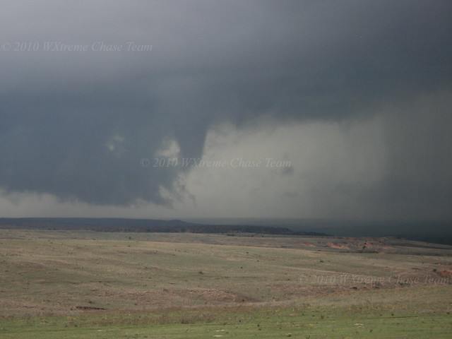
As the second tornado continued, a third developed to our NW in the northern storm:
It grew into a large cone. This photo was taken at about 5:23 CDT:
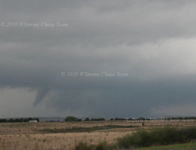
As the tornado occluded we suspected that there was a fourth, very large tornado, out in front of it:
Tornado #3 roping out at around 5:30 CDT What appears to be a large, partially obscured, wedge continues in front of it:
Meanwhile the tornado on the southern storm, now a large cone, continues to move closer to our position. Between 5:25 and 5:30 CDT there may have been three tornadoes on the ground at the same time!
Another shot from about 5:35 pm when the "Goodnight" tornado was a solid stove-pipe:
A video capture as the wall-cloud occludes:
As the tornado dissipates we moved on ahead of the storm and set up further E along FM 2477 a mile or two N of I-40. A new area of rotation developed to our W:
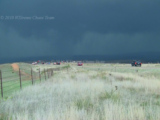
As the wall-cloud approached our position it produced several funnel clouds and brief touchdowns. This one occurred as it crossed the road to our N at about 6:30 CDT. Notice all the chasers!
Partially condensed with rapidly rotating rain.
There was no nearby E option so we continued to observe the storm as it moved on east of us toward Alanreed. This well-defined funnel developed at about 6:35 CDT:
Another touchdown in partially translucent rain curtains:
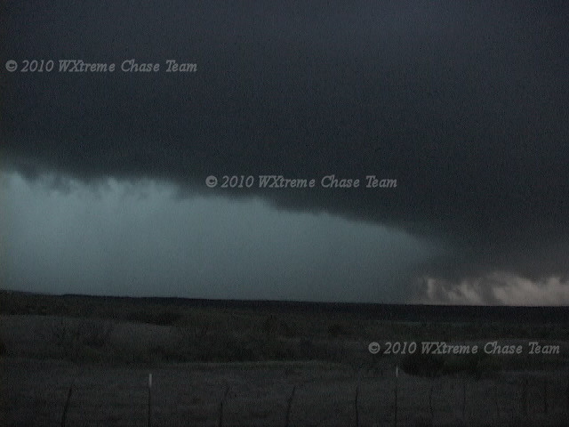
At this point we broke off this particular storm and elected to head W to a storm that had developed in the second target area SW of Childress. Our hope was to get to it before it crossed US 83 between Childress and Paducah. We managed to get in position in time and a large tornado was reported, but it was totally obscured by rain. The storm had a well-defined collar cloud and a lot of inflow into the storm behind the rain was evident.
Video capture of the storm to our WNW:
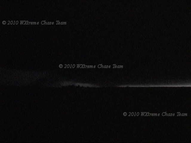
After this storm crossed US 83, it back-built and the rotation migrated back to the west. Well after dark we saw several tornadoes W and NW of our position a couple of miles N of Paducah. Here are some of the better video captures.
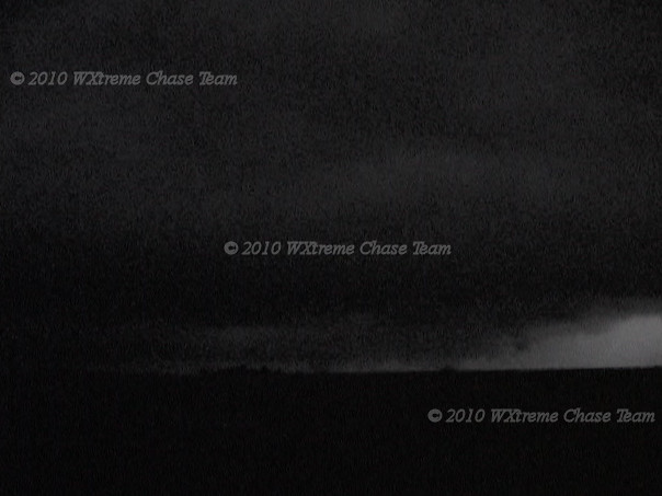
As we drove S toward Paducah, I watched, as best I could, a lowered area perhaps 10 miles to our W. A large tornado quickly developed. This video capture has just enough lightning to see the wedge:
Another vid capture (enhanced) with more lighting. The tornado is ahead of the rain, just to the right of the center on the horizon:
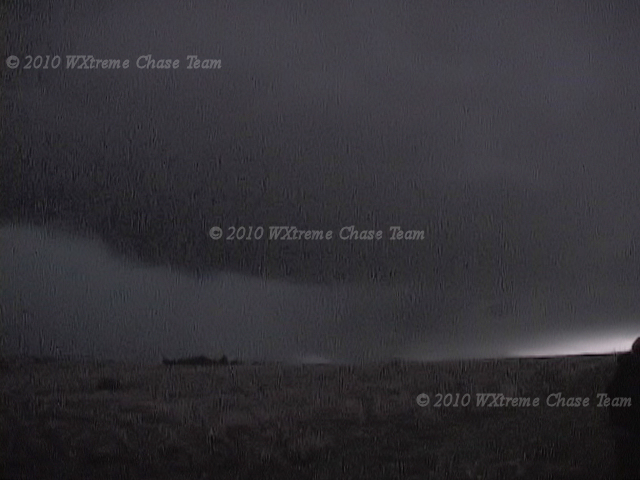
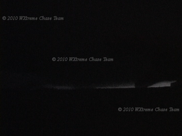
There was enough lightning to see the tornadoes, but not enough to see for sure what all was happening. The position of the cone tornado near the center of this capture and the large lowered area to the right suggests that the wedge has lifted and a cone developed behind it:
Another tornado to our NW as the storm gets closer; seen rather easily in this capture. The area in the center that looks to be in contact with the ground is simply a function of the way the lightning flashed:
After the storm crossed the road we broke off the chase. It did continue to produce damage in the Swearingen area as it moved E.
Chase Data:
Team Chase: Eugene Thieszen, Walt Gish and Eric Sipes
Total Miles: ~505
Tornadoes: Plenty for the day. If you count all the touchdowns, well more than a dozen. If you count multiple touchdowns from a single meso as a single tornado then 6 or 8.
No comments:
Post a Comment