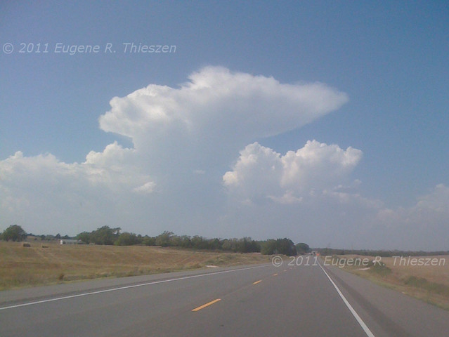
Set out from Cordell about 1 pm for my initial target of Woodward near the low. A band of towering cu in the extreme NE TX panhandle became evident while I was on the way:
By the time I arrived in Woodward a storm near Fort Supply was approaching severe limits. After fueling up I headed up the road toward the storm, but since it was moving ENE and there were no good road options I retreated through Woodward and repositioned on the storm near Alabaster Caverns. (I was tempted a bit by the storm developing out front which eventually produced a tornado, but stuck to my original target.)
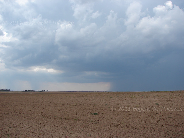
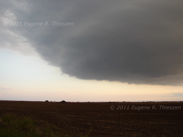
Observing the storm from a position along SR 50, it began to show some signs of supercellular organization, albeit high-based:
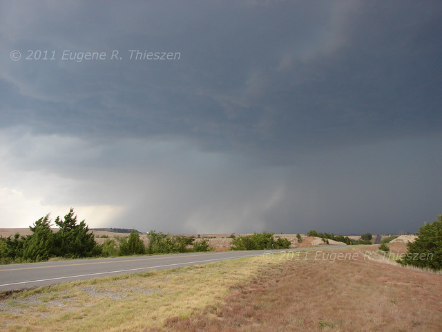
Road options forced me to allow the storm to pass and and follow it from behind. Saw some golfball sized hail laying in the grass near Freedom. I was able to skirt the back side of the storm down SR 14 and punch through the bottom end E of Waynoka, noting that the rain indicated some broad circulation in that area. Met up with Spencer Basoco E of Carmen and we proceeded S along SR 8. As we did so a front flank circulation began to organize on the N end of a shelf cloud with a good deal of dust stirred up under it. There may have been some brief spin-ups under it, but nothing substantial:
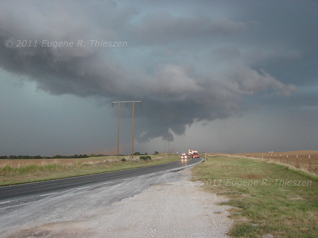
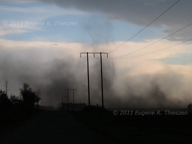
Things began to get interesting as the storm became increasingly outflow dominant. Many gustnadoes, including this one S of our position near Cleo Springs that extended all the way up to the cloud base at about 6:30 CDT (HD Video Capture):
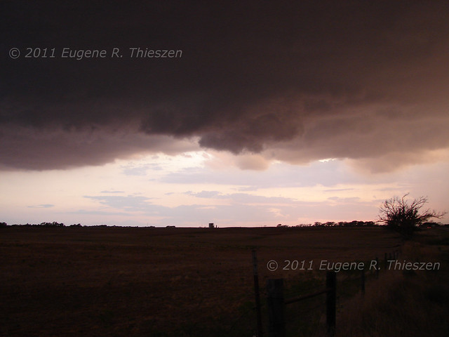
The dry conditions made it easy to see the dynamics of the dust stirred up under the storm's rather ragged wall cloud. Here follows a view of the wall cloud at its most developed at about 7:40 CDT
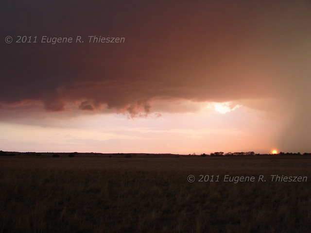
There were several incipient landspouts along the RFD front. One of them may have connected - it was difficult to tell for sure. Photographs of it didn't turn out well, but there appeared to be a pencil thin tube from a ground circulation to a nub funnel on the cloud base at one point. Spencer and I watched the storm as it passed to the E of us and until the light faded. All in all, a good chase for September, even if we weren't on the tornadoes.
Chase Data:
Solo Chase by Gene
Miles: 341
Tornadoes: 0 Numerous gustnadoes!
No comments:
Post a Comment