When I left Cordell for Kansas, it seemed the dynamics were present not only for severe weather, but tornado possibilities as well. As it turned out, some rotation was visible as storms developed, but they lined out very quickly. And it took until well after 7:00 pm CDT for anything to happen. So once it did, daylight was limited.
In any case here are a few pictures of the developing stages of the severe line segment near Wellington, KS
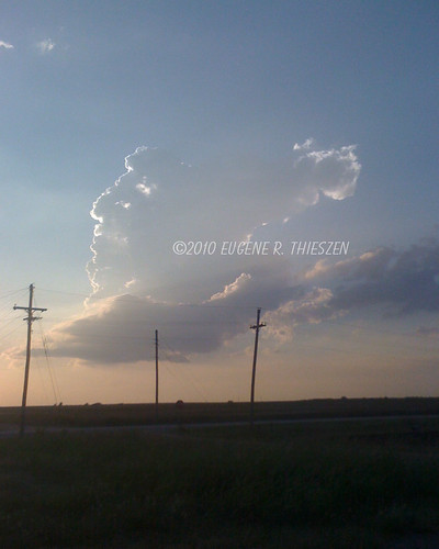
The first rather anemic tower goes up at about 7:15 pm CDT:
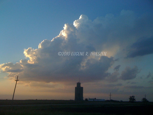
At about 7:30 pm the tower was highly sheared and didn't look like it would survive:
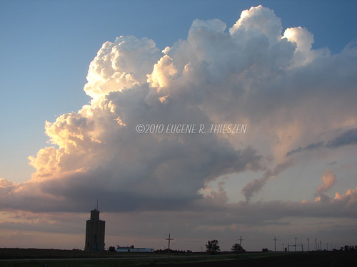
7:35 pm. Now looking more robust:
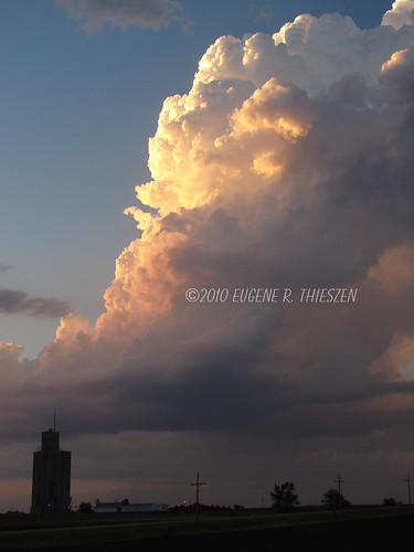
7:40 pm Precipitation begins as the storm becomes established. But too late for decent daytime observation as the sun is nearly down:
As darkness fell, the storms went severe with copious amounts of lightning and some decent striations before lining out completely. Unfortunately it was too dark to take any additional pictures.
No comments:
Post a Comment