Monday, April 4, 2011

SE Kansas 04/03/2011


Chase Log coming...

Chase Data:
Team Chase: Eugene Thieszen, Walt Gish and Eric Sipes
Miles: 660
Tornadoes: 0

Saturday, September 11, 2010

Severe Storms near Wellington, KS 09/10/2010


When I left Cordell for Kansas, it seemed the dynamics were present not only for severe weather, but tornado possibilities as well. As it turned out, some rotation was visible as storms developed, but they lined out very quickly. And it took until well after 7:00 pm CDT for anything to happen. So once it did, daylight was limited.

In any case here are a few pictures of the developing stages of the severe line segment near Wellington, KS

The first rather anemic tower goes up at about 7:15 pm CDT:
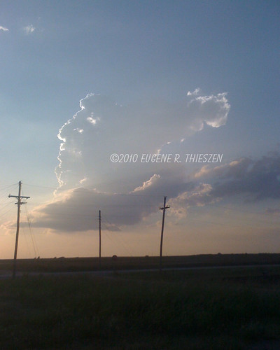
Wellington 1

Thursday, September 9, 2010

Possible Kansas Chase Tomorrow

Continuing to look at the possibility of and EC Kansas storm chase tomorrow. This morning's models looked pretty good...will make a final decision after tonights model run.

Saturday, August 14, 2010

W Oklahoma Hot Season Thundershower 08/13/2010


What to do on a very hot (103F) Oklahoma summer afternoon while nursing a very strong case of SDS? How about finding some of nature's own air conditioning. Left Cordell shortly after 5:00 pm and drove toward some very high-based thundershowers in the hopes of finding some gustnadoes in the outflow. Didn't find those, but I did find a big temperature drop (down to 71F); some brief, heavy rain; pea-sized hail and gusty winds. And a few pretty loud cracks of thunder! CGs were few but very hot!

Here are a few pics from E of Carter, OK:
Carter 1