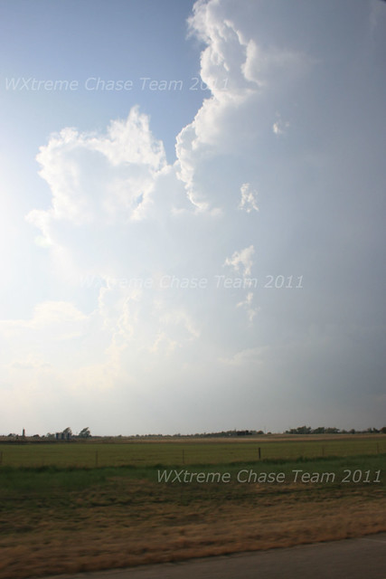
We stayed with the storm as it moved NNE rather slowly and at first remained rather high-based. Here is a shot from near Okeene at about 6:20 pm CDT:
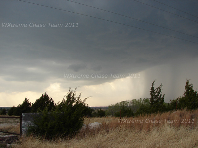
Finally, the bases began to lower and the storm produced a rather anemic wall-cloud NE of the Fairview area. This shot is from approximately 7:40 pm CDT:
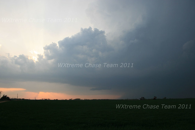
After seeming like it was moving toward producing a tornado (a brief funnel cloud was observed) the storm became progressively more disorganized. Our team however, stayed with it in the faint hope that it might regenerated after dark when the effects of the low-level jet began to kick in. We were not disappointed. The storm went tornado-warned SSW of Medford and made a hard right turn moving mostly easterly. We observed a substantial cone funnel to our 3 or 4 miles W from SR 74 about 4 miles
north of Lamont. After re-positioning along HWY 60 1 mile east of the SR 74 junction we observed this probable tornado NNW of Lamont at 9:40 pm CDT (video capture):
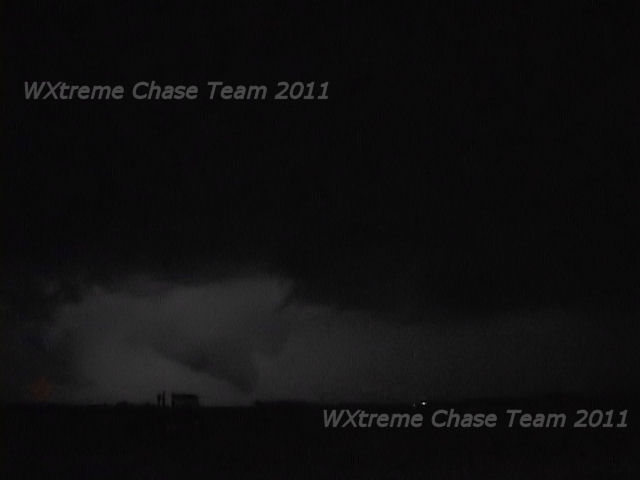
The storm had an incredible stacked-plate structure which was hard to capture at night from our position. However at about 9:45 pm CDT we witnessed this funnel cloud that eventually touched down 2-3 miles to our NNE (video capture):
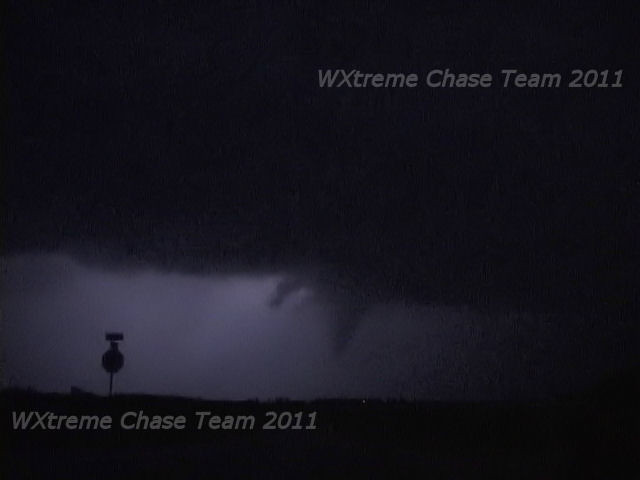
Touchdown barely visible in the capture with weak illumination from lightning:
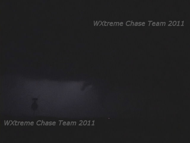
Following the brief tornado, the storm began to weaken and resumed its NE track and we ended our chase. It did, however, cycle back up and produced some property damage in the Ponca City area due to 90-100 mph RFD wind.
Chase Data:
Team Chase: Eugene Thieszen, Eric Sipes and Walt Gish
Miles: 409
Tornadoes: 1 confirmed; a second highly probable.
No comments:
Post a Comment